Paplantla, Veracruz – Hueyamalco, Pueblo, Mexico
Maybe it’s Mexico. Maybe there used to be a bridge there. Or, maybe, just maybe, Google Maps just sucks!
The choices this morning . . .
111 kilometers (about 70 miles) via the driving directions, or 93 kilometers (about 56 miles) via biking.
Of course, we know we can’t really trust the biking directions. And there was no toll road to bail us out this time.
But we did find what we thought was a pretty good compromise. Just follow the first 25 kilometers (15 miles) or so of the bike directions – thereby avoiding this huge waste of time dog-leg that the driving directions started with. Diana even checked it out – and she didn’t think there was any gravel or dirt on that whole section.
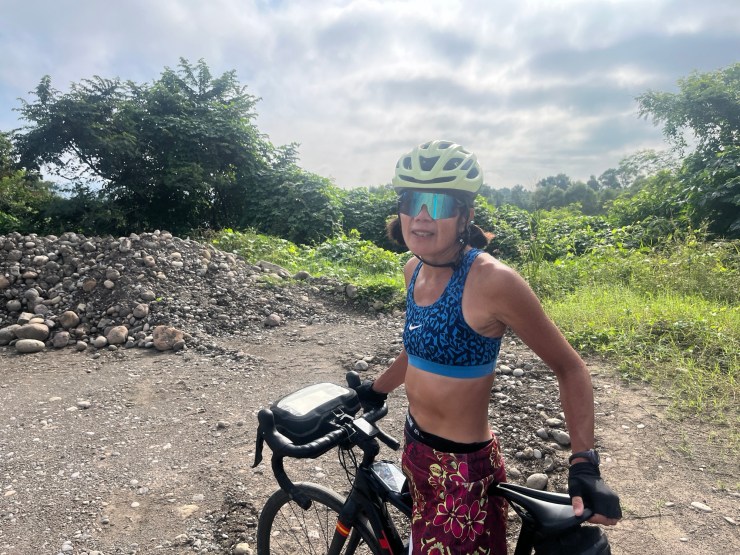
It looked to be a brilliant idea. After negotiating the super-steep terrain of Paplantla we ended up on a flat road with nice pavement that took us through a series of nice little towns. The only problem? All the little speed bumps that come with the small towns in Mexico. They definitely get pretty annoying. You either slow down to about zero, or you, your bike, and all your gear end up launched like a BMX racer . . .
We made it through the whole 25 kilometers – no problem. One simple turn, over the bridge, and then we would join the driving directions and end up with a reasonable distance for the day. Which was good – because we knew we would be gaining major elevation as we went. Challenging climbing together with a longer distance would make for a tough day – better to avoid that combination . . .
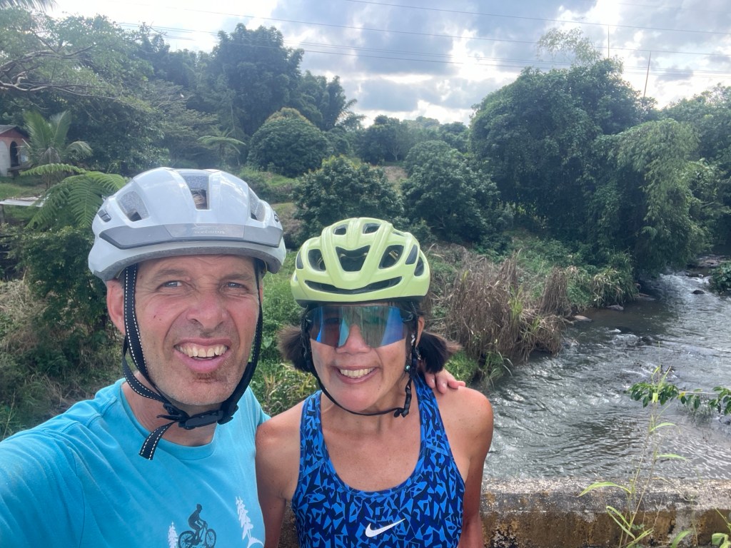
So we make the turn and we’re on a rocky road. I mean unpleasantly rocky. But it’s short. Just make our way to the bridge, go across the river – Rio Tecolutla – and we’re good . . .
”This is where the dirt starts – we should go to driving directions now,” Diana says.
”We have to do this little section of dirt to get to the bridge and then we’re good,” I reply as we head toward the river.
I will admit, however, that in the back of my mind I’m wondering why the only road to the only bridge in the area is unpaved . . .
“Turn right,” croaks Google Maps.
“Hmm, that can’t be right,” I think. “That looks like a gravel pit.”
I skip the turn and proceed ahead – thinking Google must just be a little confused.
But the rocky road ahead is only getting worse – and it’s apparent that if there is a bridge it’s through said gravel pit.
Okay, let’s try that.
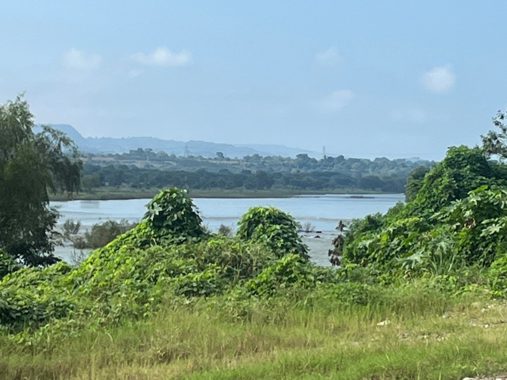
Well, there is a river – we can see that . . .
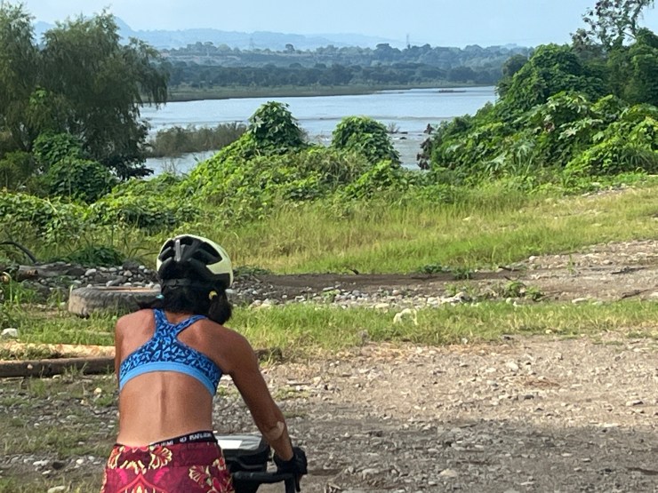
That’s half the battle – the bridge is supposed to go over a river – so if we were playing hide-and-go-seek – which we most certainly were not interested in playing at this time – the “it” person would say we were warm (that is, on the right track).
Umm, I don’t think there’s a bridge here . . .
We end up asking the guys who are working in the gravel pit.
They confirm that there is no bridge. But they pantomime paddling and say something about a church. Not sure what they were meaning – but what we understood was that there might be some kind of boat crossing somewhere near a church . . . Maybe a ferry? They also tell us that there is a bridge some seven kilometers down the main road, near the town of Espinal.
We head back up the rocky road and then start making away toward the town with the bridge. But we’re still not sure about this boat crossing thing – so we stop to ask some guys at a taco stand thing.
“No, no boat crossing.” But they do agree that there is a bridge in Espinal.
Now we’re making our way to this new town – but the road there is basically one big climb. Oh, and our shortcut idea – completely gone now. The added distance to Espinal, combined with the windy road after the bridge – means we’ll be at least 110 kilometers – 70 or so miles – to get to our destination for the day. We might as well have just taken the driving directions from the start . . .
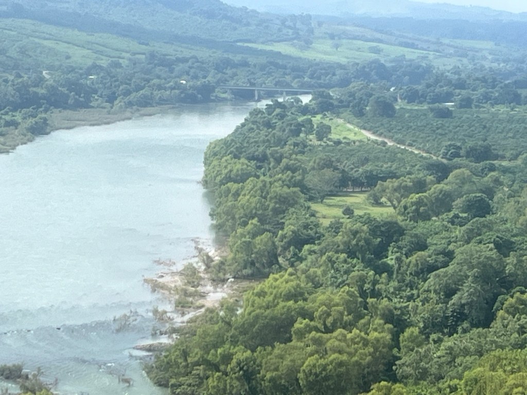
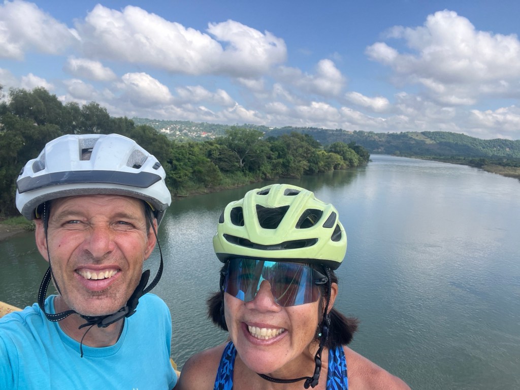
We finally make it to Espinal and we’re rewarded by amazing views of the river and river valley. We can even see the bridge that we’re going to cross.
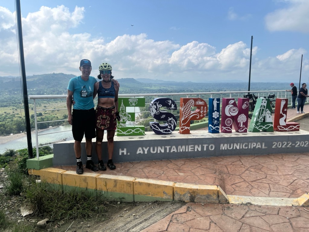
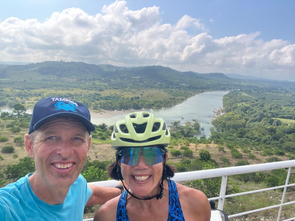
Well, we’re back on track. So the shortcut didn’t work out. No big deal. And if we had gone the other way from the beginning we would have missed these amazing views. We’re all good.
Or are we?
We head down through town on super steep descents – and emerge onto another rocky road. Once again I’m wondering why there is a rocky road heading to the only bridge in the area. Maybe this is just a secondary way of getting to the bridge . . .?
No, this is the main road alright . . .
Kind of disconcerting . . .
But now we’ve ridden about 3 kilometers of rocky road to get here . . .
As I take the final turn heading toward the bridge Google Maps squawks again: “Turn right in 14 kilometers.”
Translation in my mind: this road goes on for 14 kilometers (about 9 miles) and is, sadly, likely to be rocky the whole time.
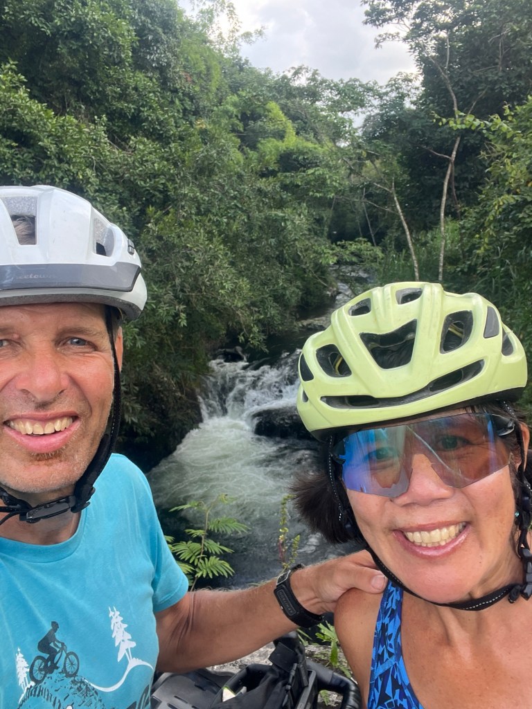
As we head over the bridge – which is, of course, itself paved – we stop to take a picture and have a little conference . . .
”Do you want to go ahead?” I ask.
”Well, it’s paved now.”
”That’s just the bridge – I’m not sure the road will be paved.”
”What choice do we have?”
”We might just choose a different destination for the day.”
Diana does not love ideas like this. You choose a destination. You stick with it . . . I’m more of a moving target kind of guy – but I’m happy to go on this way so long as I can’t be completely blamed for what might lie ahead . . .
Okay. Then we’re going.
I don’t mention the 14-kilometer Google Maps revelation. Better not to make a bad situation worse. Maybe the road will switch to pavement at some point . . .
The next 4 or 5 kilometers – about 3 miles – are HORRIBLE. The road pretty much follows the water and is literally paved with river rock. The same stuff that the worker guys who didn’t get sacrificed because they weren’t good enough hauled in to make El Tajin. Sadly, we’re too far from El Tajin now – so they didn’t collect the rocks off of this particular road to make the pyramids . . .
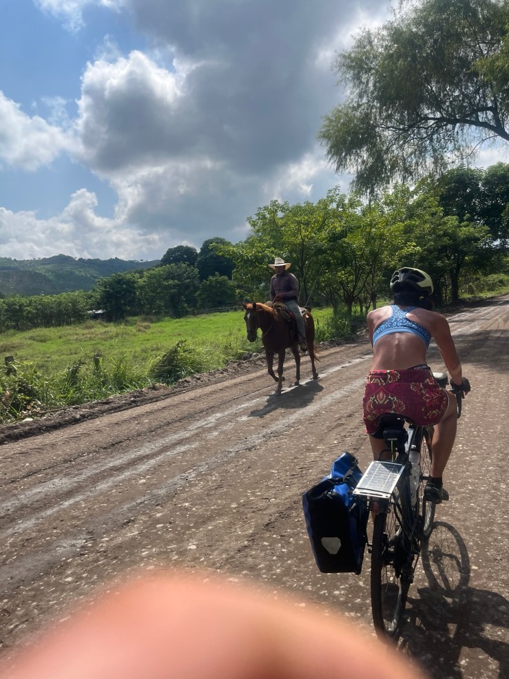
We’re following a car – which is going the same speed we are because the road is so bad and it’s actually easier for us to find a decent path through the roads and puddles (did I mention the puddles – there were huge puddles) because the bikes are narrower. We eventually catch up to an ATV that is also making its way slowly along this highway from hell. At one point it’s the car, the atv, our two bikes – and two horses – with no riders (all part of the mysteries and charms of Mexico) – all picking our way through the rocks. Quite a parade of misery . . .
Okay, enough complaining. The road does eventually become pavement – for a while. And while it goes back to dirt, it’s not quite as bad as Babyhead Alley and we eventually make our way to a town.
At this point we’re tired, hungry, hot and dispirited.
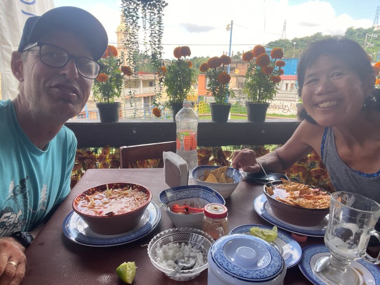
We teeter on the edge of a pointless argument (the words wouldn’t have mattered – the meaning would have been something like this “I’m tired and hungry and mad at everything . . .”) – but things do get better before we completely fall to pieces . . . We find a restaurant with AMAZING pozole. We each eat a bowl, and now we’re happy again. Funny how that works . . .
The remainder of the day? Diana looks and we have something like 45 miles remaining – with 5,500 feet of ascent and 1,000 feet of descent. I don’t know my ratios that well – but it sounds like some serious work ahead . . .
And, sadly, with all the adventures of the morning, it is now getting later in the day.
Enough play by play . . .
We do ascend steadily – and after a few hours Diana announces that we’re at 1,200 feet or so. A little mental gymnastics in my head tells me that, while we’ve gone up a bit – we have a ton more climbing left to do before we’re done. Not good . . .
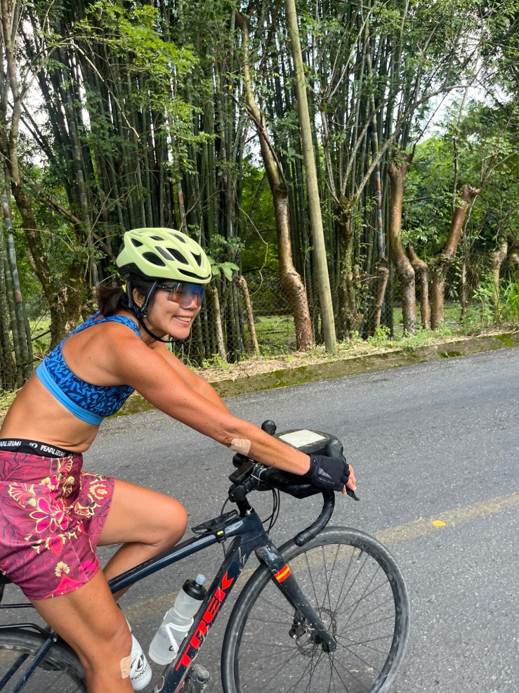
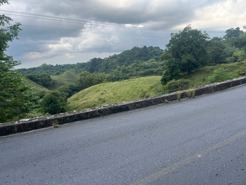
But let me tell you about the riding. Going up means more amazing views. It also means an ever-changing landscape. We are now seeing lots of bamboo around. (Is bamboo native? I feel like it must have been imported from China.) Not just growing – but it is increasingly used in construction projects and houses that we pass.
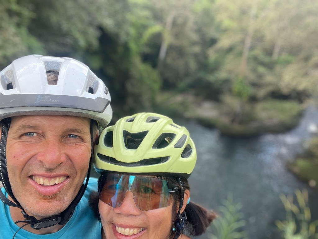
The really cool thing is the two waterfalls we come across. No markings. No acknowledgements. No access.
But my goodness!
The first one . . . We’re biking along and we barely know we are going across a bridge. But I see a little gesturing in the car that goes over the bridge ahead of us – like maybe they saw something cool – and I call a stop. When we look we see that there is a creek on one side with some cool waterfall type things. On the other: the water just disappears and there must be a 100-200 meter sheer drop. Amazing. Just wish we could see the whole thing. When I look around I observe that there is no access whatsoever. Barbed wire, private property, and unwalkable slopes.
Similar experience with the second one. Absolutely beautiful. Looks like a fantastic place to enjoy a waterfall and take a swim. But, again, no access whatsoever. Barbed wire and impenetrable jungle.
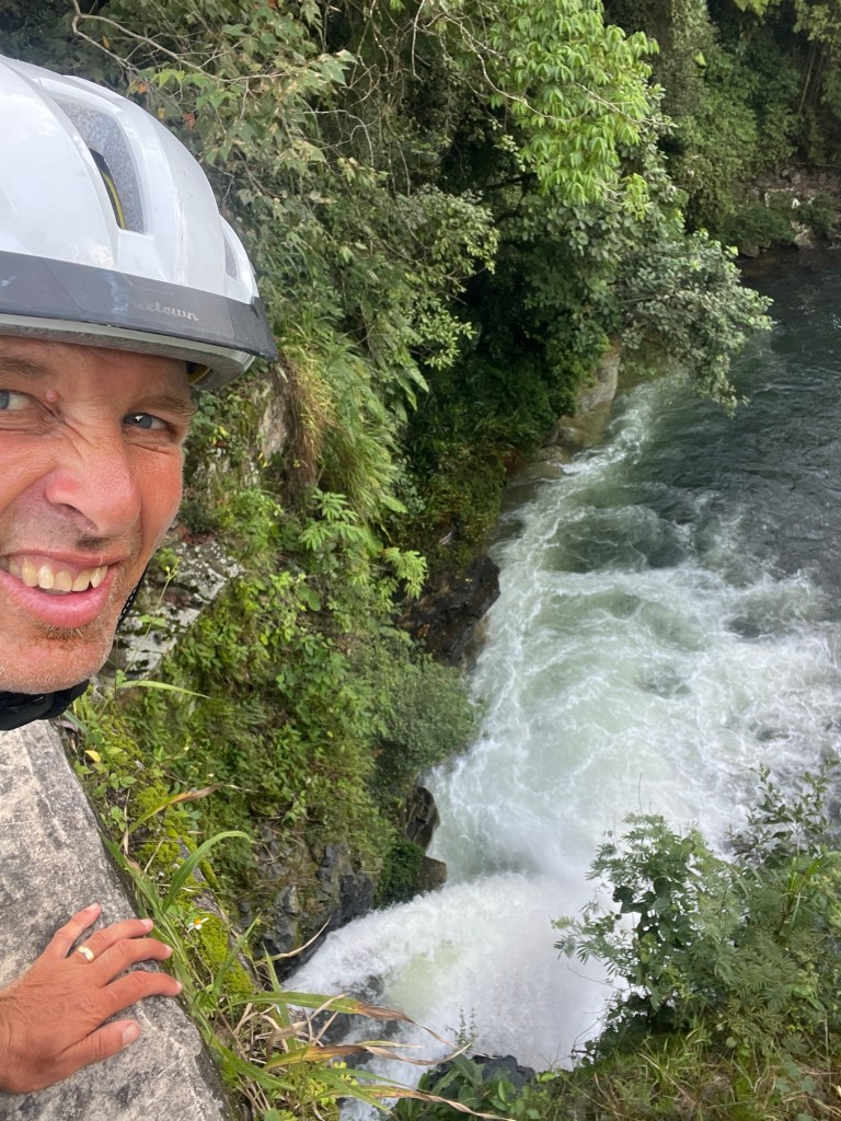
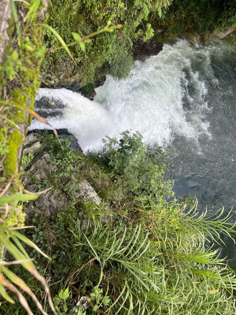
So crazy that beautiful places like this don’t seem to be a thing in Mexico. Maybe it has something to do with the lack of wealth. But I think it’s more than that. There just seems to be some cultural thing we don’t understand . . .
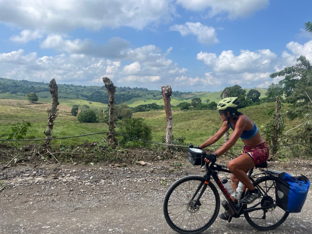
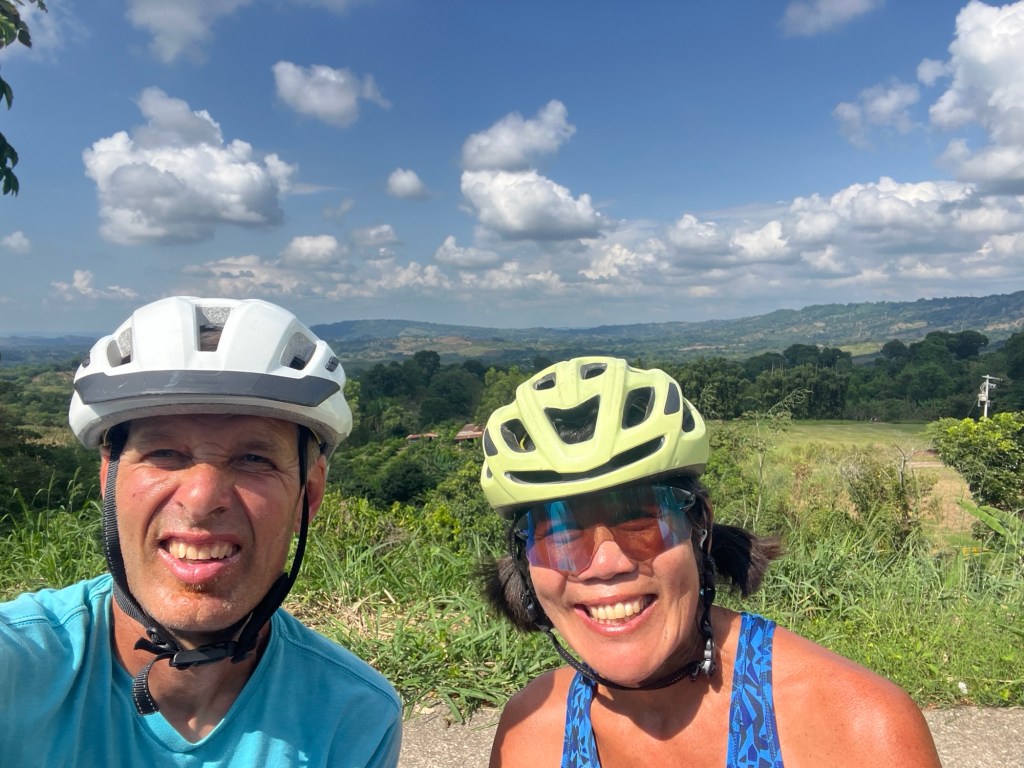
We push on and the ascending becomes more and more serious. More rewards though. Amazing views – and now we are surrounded by bananas and plantains.
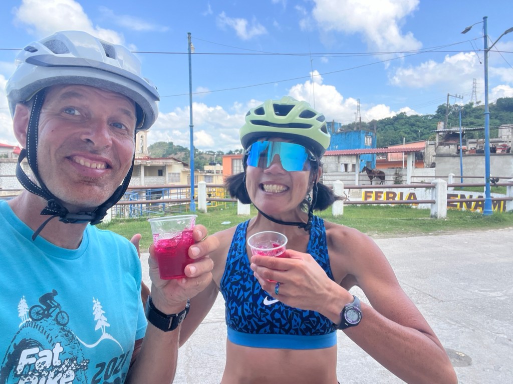
We stop at a place that has them all on display – an elephant’s paradise. We each get a banana and take a picture with the whole banana-producing family.

Best banana I ever had. By far. If all bananas were this good I would actually like bananas. For sure.
Eventually we make it to Hueytamalco. It’s after 4 now and there’s only 22 kilometers or so to go – but we’re still only at 2,800 feet – meaning we probably have 3,000+ feet of climbing left.
We decide that we might not make it to our original destination by dark (6 or so), and there are some hotels here. First choice is closed. Second place – more super-serious ascents and descents to get there . . . We end up pulling in just in time – like literally just in time – for the heavens to open up. Serious mountain/jungle rain!
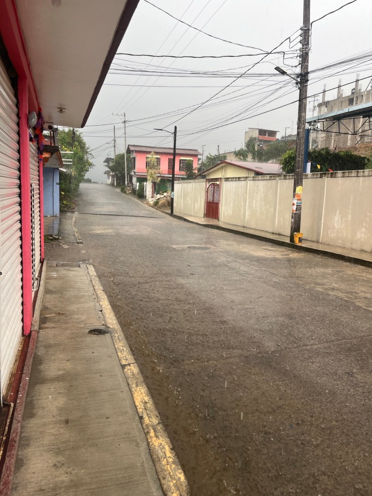
We’re glad we didn’t try to push on . . . We’re going to have to start paying attention to potential storms . . .
This place is not quaint. The room looks out on the hotel’s indoor parking lot. But we have set a new record for price – 360 pesos – or about $19. About the same cost as the Lord of the Flies campground.
But whatever. It seems clean. And after the rain stopped we walked to the town square for dinner and yet another night of Day of the Dead Celebrations.
Is it Day of the Dead or Year of the Dead? ‘Cause it seems to go on forever. Doesn’t matter. It’s fun and all good . . .
Yes. There was no bridge. And yes, the second bridge was no great shakes either. But there was some amazing riding, some great surprises, some fantastic views, and our bikes have a whole parking garage to themselves . . .
All-in-all, another great day in Mexico!
Discover more from Diana & John's Biking Adventures
Subscribe to get the latest posts sent to your email.

Great adventure. Like visiting Minnehaha Falls
LikeLike
Exactly. Except with tons of climbing and no people… 😁
LikeLike
Tough day to start, but it sounds like you were well rewarded for your troubles!
LikeLiked by 1 person